Site documentation / Central Texas
Infrastructure in view
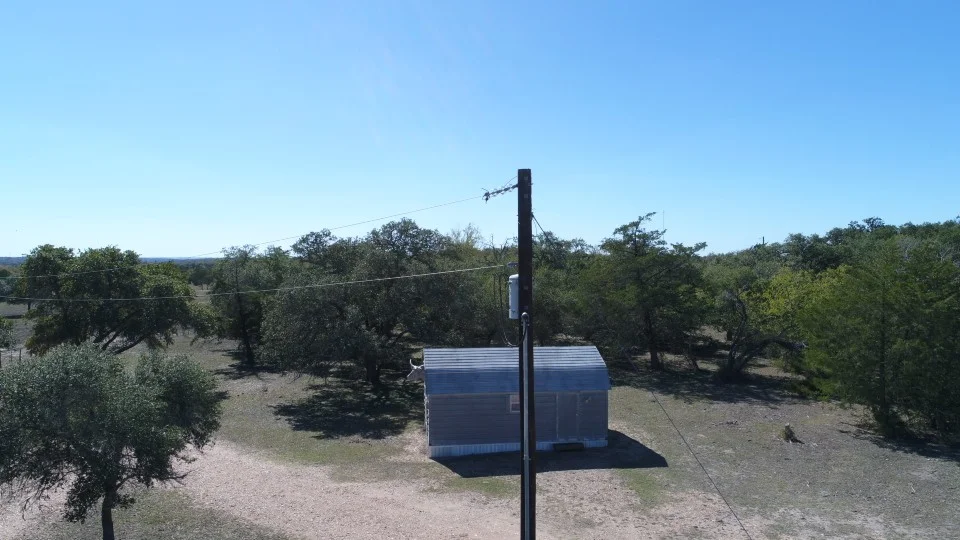
Drone imagery for documenting utility infrastructure and its surroundings.
The perspective
About the work.
- Infrastructure imagery
- Visual documentation
- Site context
An aerial perspective makes it easier to see infrastructure in relation to the surrounding site. Drone imagery supports visual review and provides a record that teams can reference as work progresses.
Your next project starts here
Let’s put your project
in perspective.
A property to showcase. A site to understand.
A map that makes it all make sense.