 GIS & mapping
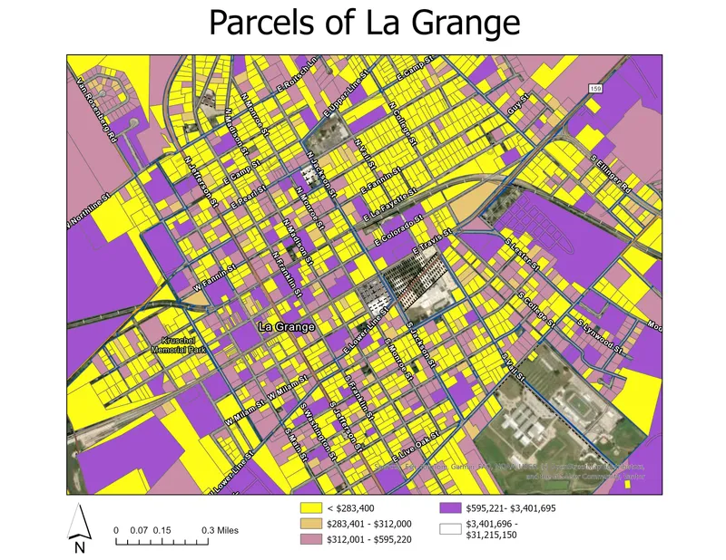
 Making parcel data readable
A thematic map that turns parcel-level information into an organized view of the local landscape.
GIS & mapping
A useful map does more than display locations. It connects the information, reveals patterns, and gives you a clearer basis for your next decision.
Discuss a mapping projectMaps with a purpose
GIS work grounded in geography, real estate research, and practical experience with spatial data.
Custom maps, thematic cartography, and parcel visualizations that organize location information and communicate it clearly.
Market-area mapping, demographic research, and geographic analysis for understanding properties and the places around them.
Geocoding, data organization, and quality checks that help turn source records into useful, consistent GIS information.
Mapping in practice
GIS & mapping A thematic map that turns parcel-level information into an organized view of the local landscape.
 GIS & mapping
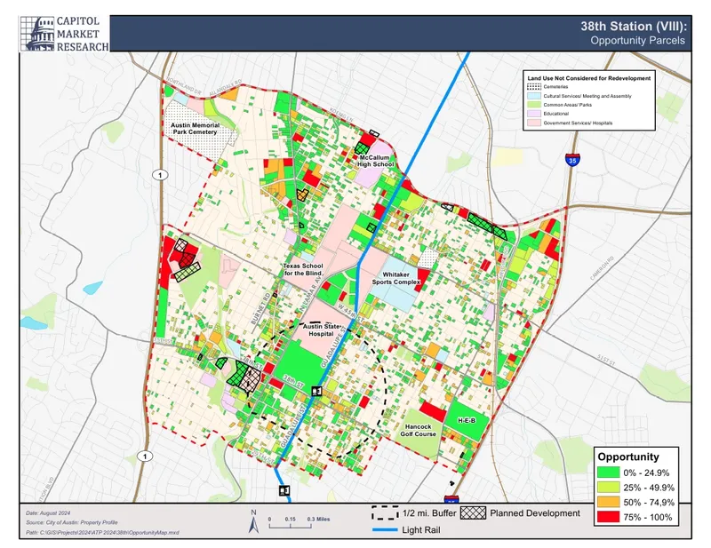
 Market-area, demographic, and development maps supporting real estate research.
Your next project starts here
A property to showcase. A site to understand.
A map that makes it all make sense.