Site documentation / Central Texas
A clearer view of the site
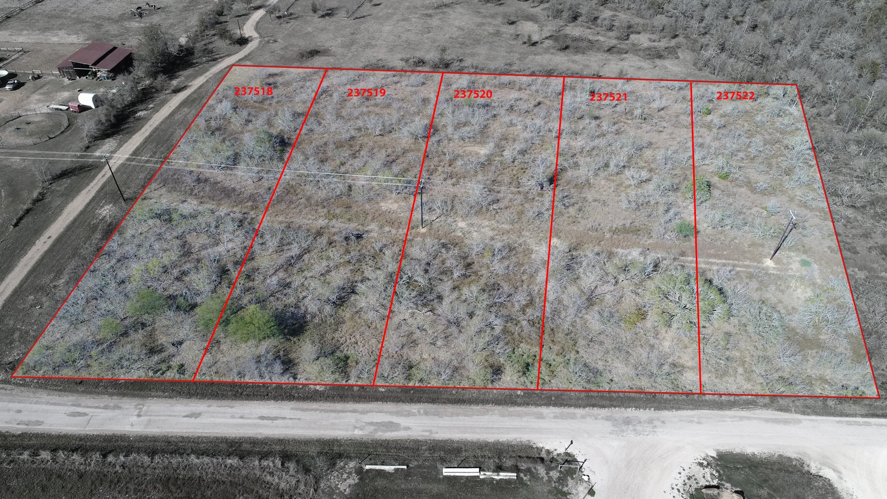
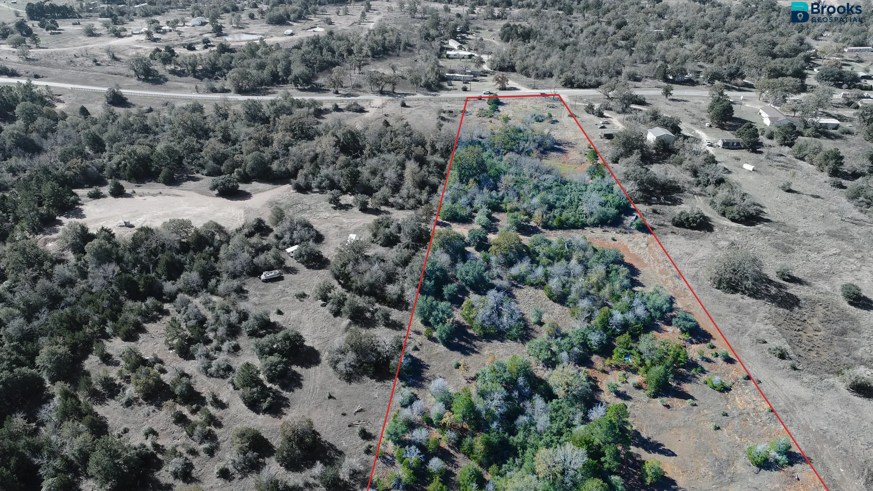
Site imagery with visual overlays to help explain the land and communicate a property’s layout.
The perspective
About the work.
- Site imagery
- Illustrative overlays
- Property documentation
Aerial views provide a useful foundation for conversations about a property. Visual overlays help orient the viewer and place individual areas in the context of the larger site.
Boundary overlays are illustrative and do not establish legal property boundaries.
Your next project starts here
Let’s put your project
in perspective.
A property to showcase. A site to understand.
A map that makes it all make sense.