Aerial imagery / Central Texas
Land, seen in context
Aerial property imagery that puts the landscape, access, and surrounding land into one clear view.
The perspective
About the work.
- Property photography
- Wide aerial views
- Real estate imagery
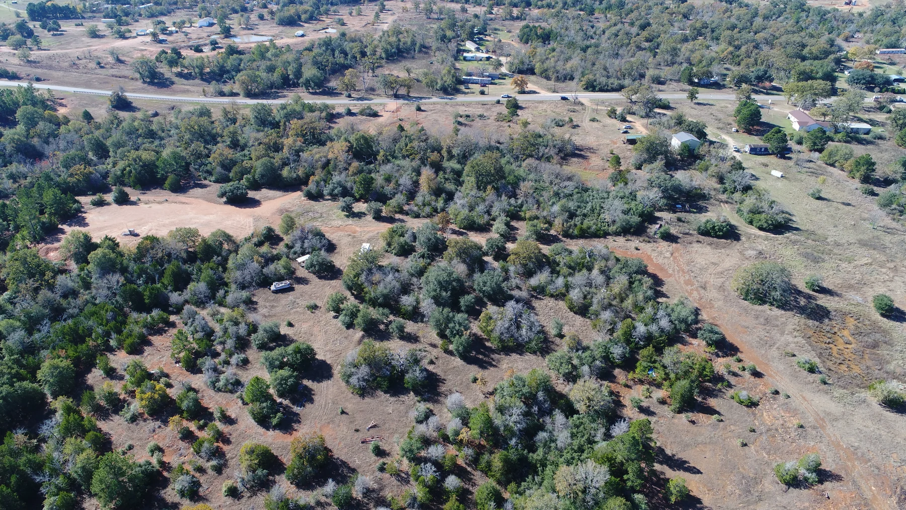
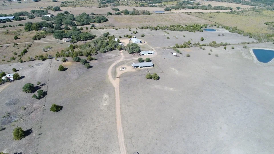
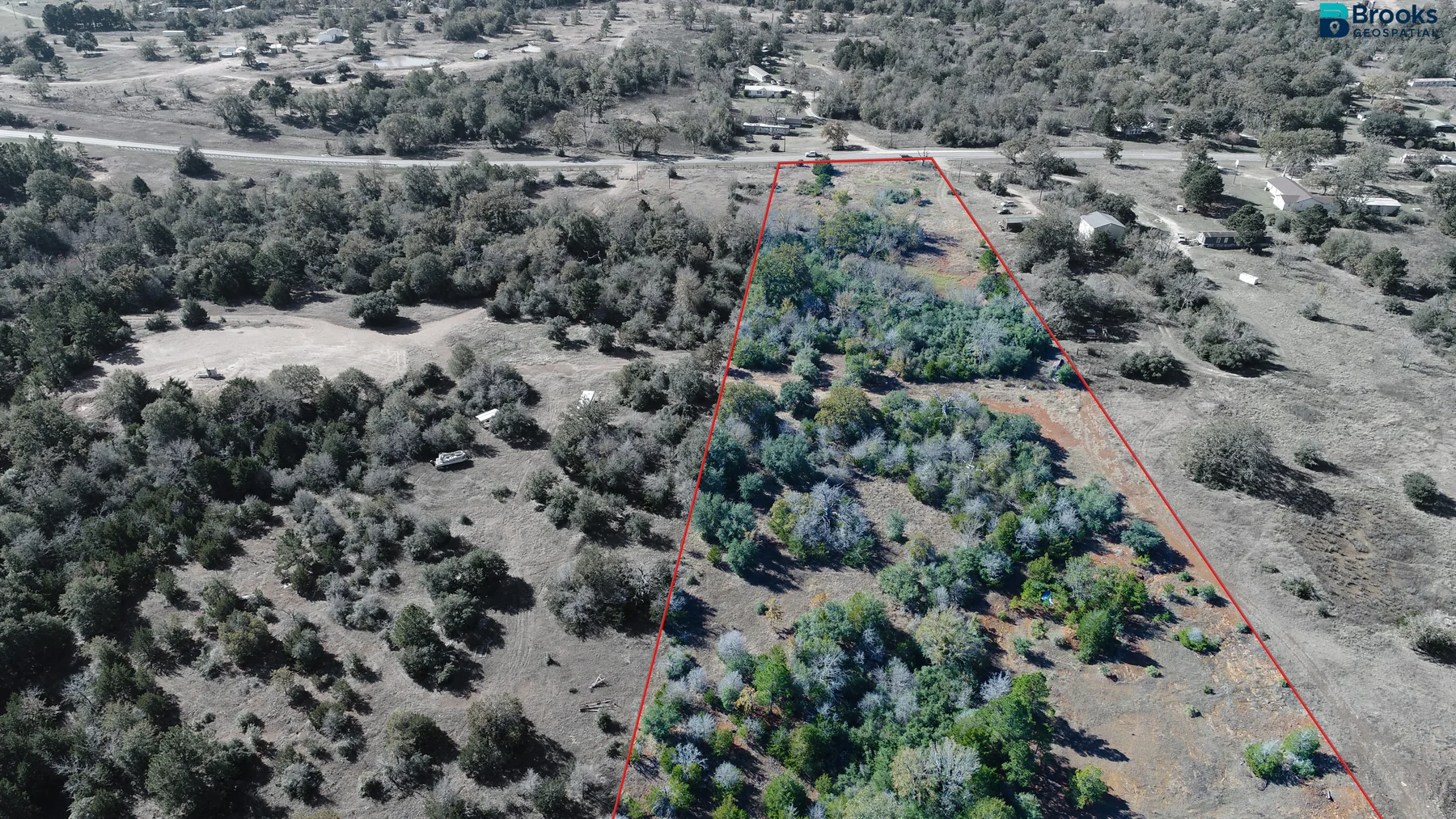
Aerial photography helps communicate the character of a property beyond what can be seen from the road. These images show the relationship between open land, tree cover, neighboring properties, and access routes.
Boundary overlays are illustrative and do not establish legal property boundaries.
Your next project starts here
Let’s put your project
in perspective.
A property to showcase. A site to understand.
A map that makes it all make sense.