In progress
Evaluation project
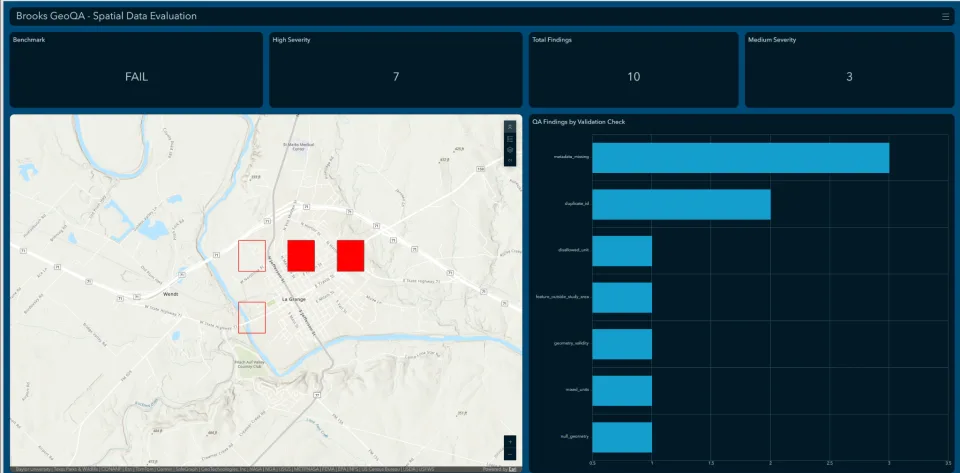
Spatial Data QA Toolkit
A reusable quality-assurance toolkit for checking the spatial and tabular conditions that make GIS outputs defensible.
Current scope
This project is being developed as a structured approach to GIS and spatial-data QA. Its scope is focused on the checks that prevent plausible-looking outputs from passing when coordinate systems, geometry, joins, or records are wrong.
In-progress project
This page describes work in development. It does not claim published benchmark results, client work, or product performance.
Planned deliverables
What this work is designed to produce.
- 01
Documented QA task set
- 02
Expected checks and review criteria
- 03
Python-assisted checks where appropriate
- 04
Workflow and exception documentation