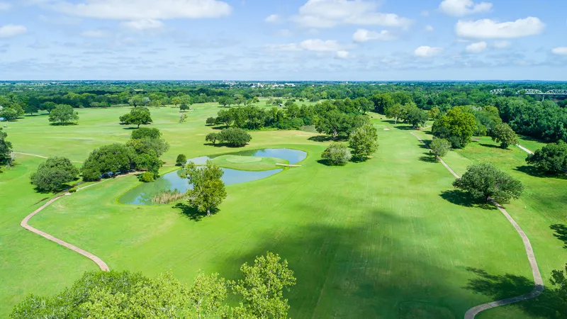
 Aerial imagery
 A fresh perspective on the club
A coordinated collection of aerial imagery, ground photography, and marketing media for a local country club.
A different perspective
On the ground. From the air. In the data.
We bring your world into focus with GIS mapping,
aerial imagery, and spatial insight.
01 / What we do
Good decisions start with a clear picture.
We connect the landscape, the imagery, and the
data to help you see what matters.
Turn location data into clear maps and practical insights. From parcel mapping to market-area analysis.
Show the full picture with professional drone photography, video, and commercial media.
See your site from above. Document properties, infrastructure, and construction as they evolve.
02 / Selected work
Aerial imagery A coordinated collection of aerial imagery, ground photography, and marketing media for a local country club.
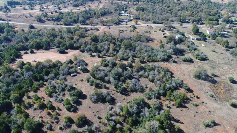 Aerial imagery
 Aerial property imagery that puts the landscape, access, and surrounding land into one clear view.
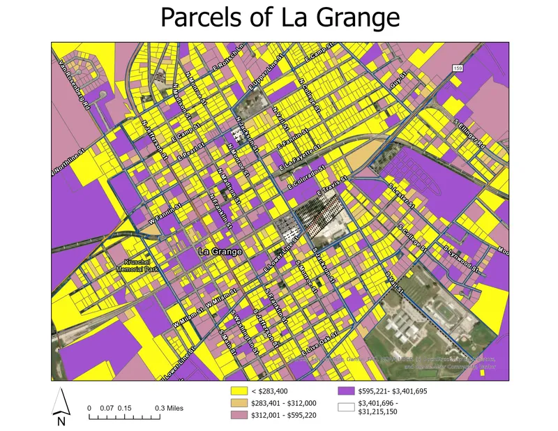 GIS & mapping
 A thematic map that turns parcel-level information into an organized view of the local landscape.
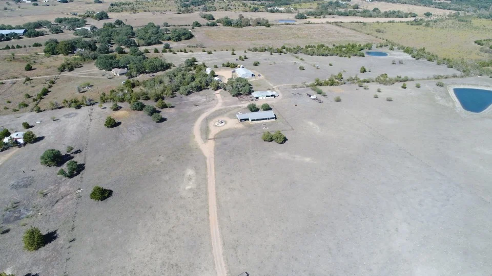 A perspective close to home.
 03 / The people behind the perspective
Brooks Geospatial is led by Davis “Mac” Brooks, a GIS analyst and FAA Part 107–certified drone pilot with a background in geography, market research, and hands-on fieldwork.
From Fayette County to projects across Central Texas, we pair local understanding with the tools to see a place differently.
Meet Mac & Brooks Geospatial04 / How we work
A straightforward process.
Work shaped around what you need to see.
We talk through your site, goals, and how you’ll use the finished maps or imagery.
We bring together the right imagery, location data, and analysis for your project.
You get clear, practical deliverables ready to inform decisions or tell your story.
Your next project starts here
A property to showcase. A site to understand.
A map that makes it all make sense.